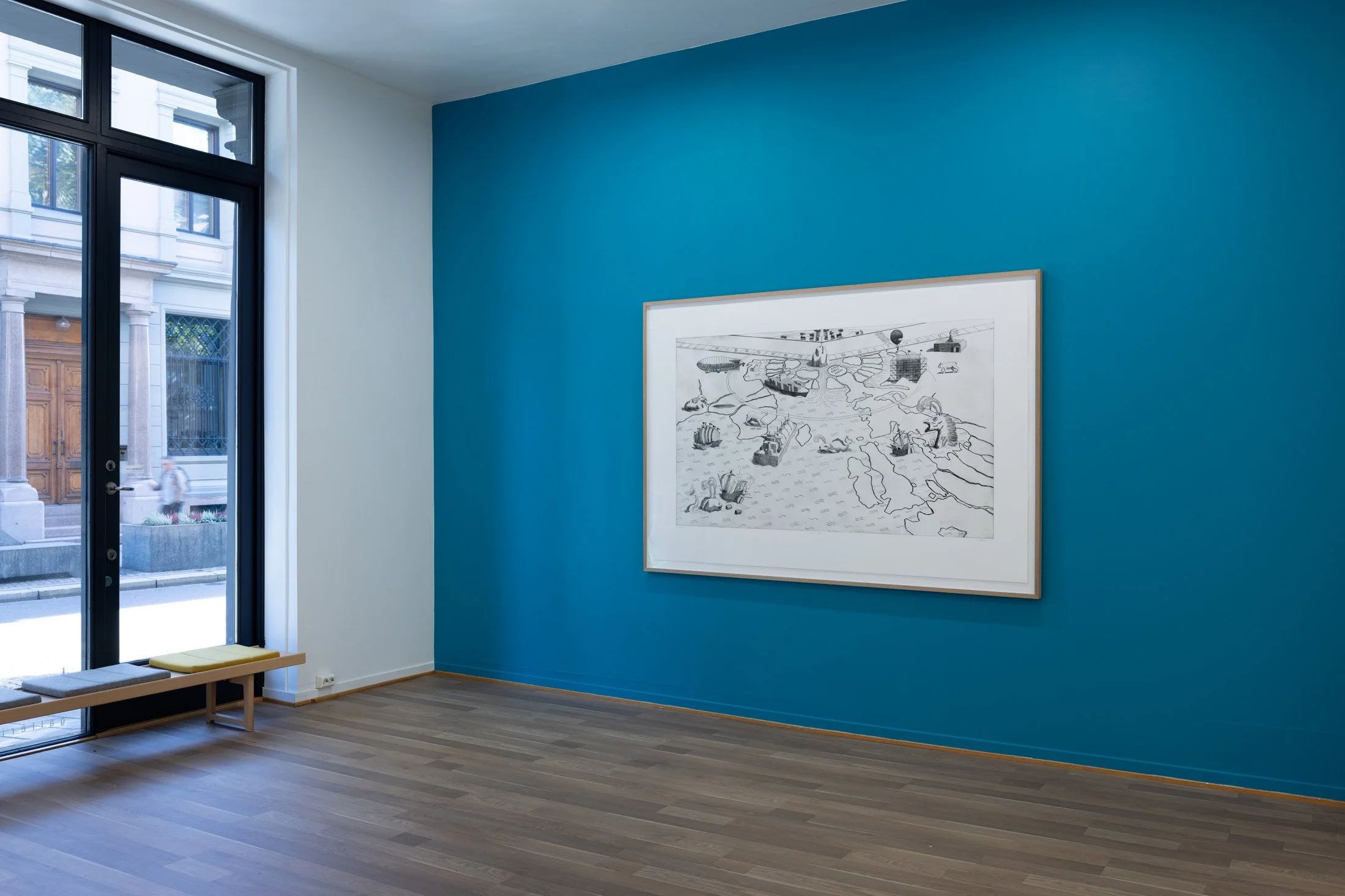
ULTIMA THULE
Copper engraving printed on Somerset Satin 405 gsm, 136 x 200 cm (paper), 100 x 170 cm (print), 2024
From the exhibition Theatrum Orbis Terrarum at Kunstverket Galleri, Oslo, 2024. Photos: Trond A. Isaksen
"Thule" is a place far to the north in Greek and Roman tradition, first mentioned by the Greek geographer and discoverer Pytheas of Marseilles.
This map is based on the top section of a world map by Johannes Ruysch from 1507 - Universalior Cogniti Orbis Tabula Ex Recentibus Confecta Obsevationibus. In Ruysch’s interpretation of the world, the North Pole consists of a large black magnetic rock surrounded by landmasses separated by open channels. During the Age of Exploration, which saw increasing trade with the East, the West hoped that through the open channels surrounding the North Pole, they could reach the other side of the globe in a fraction of the time that it took to sail around Cape of Good Hope. The immense forces and crushing powers of the arctic ice soon proved this to be impossible however, and many a fatal expedition stood testimony to this.
While long discarded as an unrealistic dream, climate change and rapidly melting polar ice is now turning what was once a Renaissance utopia of profitable sailing routes into a very imminent contemporary reality, opening up a whole new set of geopolitical debates.


